
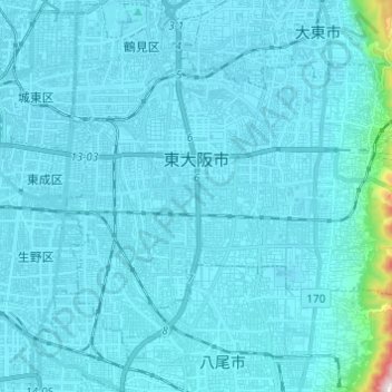
東大阪市 topographic map
Interactive map
Click on the map to display elevation.
About this map
Name: 東大阪市 topographic map, elevation, terrain.
Location: 東大阪市, 大阪府, 日本 (34.63219 135.55704 34.70425 135.67875)
Average elevation: 22 m
Minimum elevation: 0 m
Maximum elevation: 456 m
Other topographic maps
Click on a map to view its topography, its elevation and its terrain.