
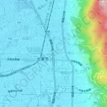
寺川 topographic map
Interactive map
Click on the map to display elevation.
About this map
Name: 寺川 topographic map, elevation, terrain.
Location: 寺川, 平野屋新町, 大東市, 大阪府, 574-0074, 日本 (34.71188 135.63842 34.71198 135.63881)
Average elevation: 39 m
Minimum elevation: 0 m
Maximum elevation: 300 m