
大正區 topographic map
Interactive map
Click on the map to display elevation.
About this map
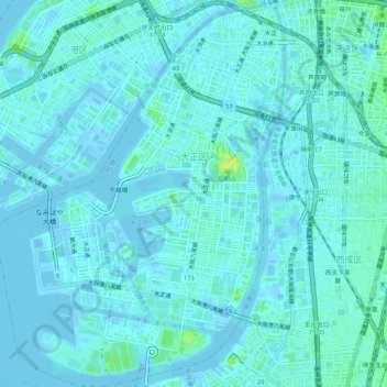
Name: 大正區 topographic map, elevation, terrain.
Location: 大正區, 大阪市, 大阪府, 日本 (34.62461 135.44227 34.66814 135.48204)
Average elevation: 3 m
Minimum elevation: -4 m
Maximum elevation: 18 m
Other topographic maps
Click on a map to view its topography, its elevation and its terrain.