
中之島 topographic map
Interactive map
Click on the map to display elevation.
About this map
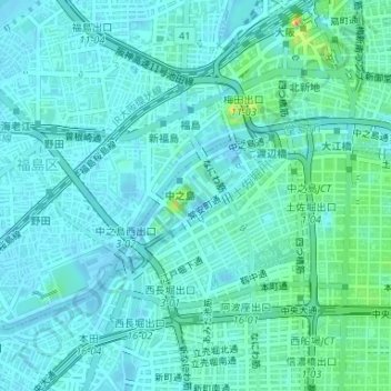
Name: 中之島 topographic map, elevation, terrain.
Location: 中之島, 北區, 大阪市, 大阪府, 日本 (34.68530 135.48194 34.69444 135.51279)
Average elevation: 9 m
Minimum elevation: -2 m
Maximum elevation: 51 m
Other topographic maps
Click on a map to view its topography, its elevation and its terrain.