
岸和田市 topographic map
Interactive map
Click on the map to display elevation.
About this map
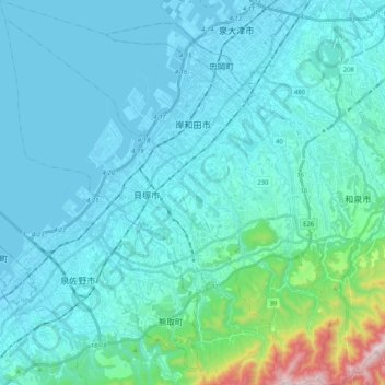
Name: 岸和田市 topographic map, elevation, terrain.
Location: 岸和田市, 大阪府, 日本 (34.34737 135.28034 34.51961 135.46373)
Average elevation: 95 m
Minimum elevation: -4 m
Maximum elevation: 877 m
Other topographic maps
Click on a map to view its topography, its elevation and its terrain.