
泉佐野市 topographic map
Interactive map
Click on the map to display elevation.
About this map
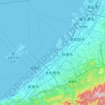
Name: 泉佐野市 topographic map, elevation, terrain.
Location: 泉佐野市, 大阪府, 日本 (34.32844 135.14373 34.54423 135.40922)
Average elevation: 64 m
Minimum elevation: -8 m
Maximum elevation: 847 m
Other topographic maps
Click on a map to view its topography, its elevation and its terrain.