
豐能郡 topographic map
Interactive map
Click on the map to display elevation.
About this map
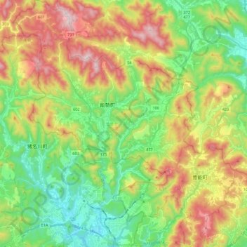
Name: 豐能郡 topographic map, elevation, terrain.
Location: 豐能郡, 大阪府, 日本 (34.87340 135.33020 35.05129 135.52583)
Average elevation: 342 m
Minimum elevation: 64 m
Maximum elevation: 776 m
Other topographic maps
Click on a map to view its topography, its elevation and its terrain.