
羽曳野市 topographic map
Interactive map
Click on the map to display elevation.
About this map
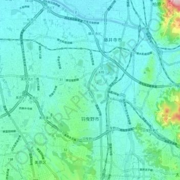
Name: 羽曳野市 topographic map, elevation, terrain.
Location: 羽曳野市, 大阪府, 日本 (34.52541 135.56648 34.58206 135.66015)
Average elevation: 45 m
Minimum elevation: 6 m
Maximum elevation: 275 m
Other topographic maps
Click on a map to view its topography, its elevation and its terrain.