
橋 topographic map
Interactive map
Click on the map to display elevation.
About this map
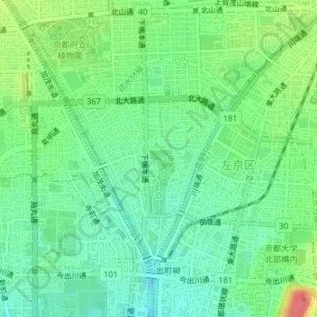
Name: 橋 topographic map, elevation, terrain.
Location: 橋, 左京区下鴨泉川59, 下鴨本通, 下鴨松ノ木町, 左京区, 京都市, 京都府, 606-0802, 日本 (35.03894 135.77225 35.03904 135.77235)
Average elevation: 68 m
Minimum elevation: 46 m
Maximum elevation: 110 m
Other topographic maps
Click on a map to view its topography, its elevation and its terrain.