
池元町 topographic map
Interactive map
Click on the map to display elevation.
About this map
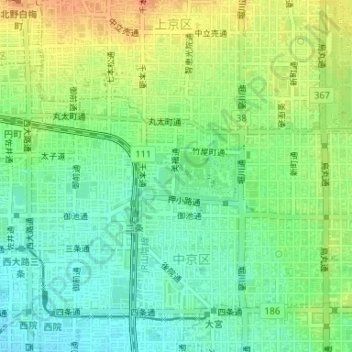
Name: 池元町 topographic map, elevation, terrain.
Location: 池元町, 中京区, 京都市, 京都府, 日本, 外濠 (35.01203 135.74544 35.01580 135.75125)
Average elevation: 47 m
Minimum elevation: 30 m
Maximum elevation: 69 m
Other topographic maps
Click on a map to view its topography, its elevation and its terrain.