
金運清水 topographic map
Interactive map
Click on the map to display elevation.
About this map
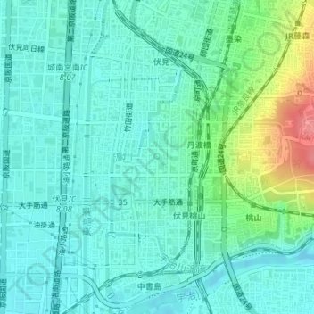
Name: 金運清水 topographic map, elevation, terrain.
Location: 金運清水, 鷹匠町, 伏見区, 京都市, 京都府, 日本 (34.93681 135.76097 34.93682 135.76099)
Average elevation: 27 m
Minimum elevation: 6 m
Maximum elevation: 98 m
Other topographic maps
Click on a map to view its topography, its elevation and its terrain.