
榎木町 topographic map
Interactive map
Click on the map to display elevation.
About this map
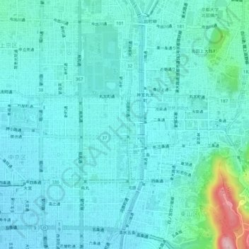
Name: 榎木町 topographic map, elevation, terrain.
Location: 榎木町, 中京区, 京都市, 京都府, 604-0931, 日本 (34.99282 135.74817 35.03282 135.78817)
Average elevation: 61 m
Minimum elevation: 32 m
Maximum elevation: 235 m