
花背 topographic map
Interactive map
Click on the map to display elevation.
About this map
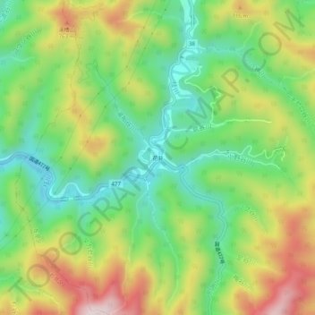
Name: 花背 topographic map, elevation, terrain.
Location: 花背, 左京区, 京都市, 京都府, 日本 (35.18821 135.75548 35.22821 135.79548)
Average elevation: 562 m
Minimum elevation: 351 m
Maximum elevation: 873 m