
衣笠山 topographic map
Interactive map
Click on the map to display elevation.
About this map
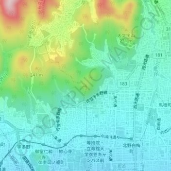
Name: 衣笠山 topographic map, elevation, terrain.
Location: 衣笠山, 右京区, 京都市, 京都府, 6038577, 日本 (35.03575 135.72198 35.03585 135.72208)
Average elevation: 121 m
Minimum elevation: 50 m
Maximum elevation: 332 m
Other topographic maps
Click on a map to view its topography, its elevation and its terrain.