
大暑山 topographic map
Interactive map
Click on the map to display elevation.
About this map
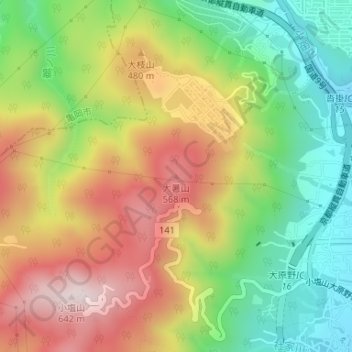
Name: 大暑山 topographic map, elevation, terrain.
Location: 大暑山, 京都市, 京都府, 610-1197, 日本 (34.97093 135.64394 34.97103 135.64404)
Average elevation: 344 m
Minimum elevation: 96 m
Maximum elevation: 631 m
Other topographic maps
Click on a map to view its topography, its elevation and its terrain.