
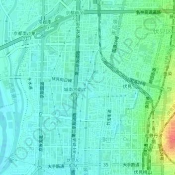
東高瀬川 topographic map
Interactive map
Click on the map to display elevation.
About this map
Name: 東高瀬川 topographic map, elevation, terrain.
Location: 東高瀬川, 竹田狩賀町, 伏見区, 京都市, 京都府, 612-8435, 日本 (34.94265 135.75387 34.94699 135.75524)
Average elevation: 22 m
Minimum elevation: 10 m
Maximum elevation: 63 m
Other topographic maps
Click on a map to view its topography, its elevation and its terrain.