
葦原島 topographic map
Interactive map
Click on the map to display elevation.
About this map
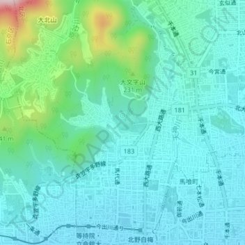
Name: 葦原島 topographic map, elevation, terrain.
Location: 葦原島, 北区, 京都市, 京都府, 日本 (35.03915 135.72828 35.03927 135.72862)
Average elevation: 124 m
Minimum elevation: 58 m
Maximum elevation: 407 m
Other topographic maps
Click on a map to view its topography, its elevation and its terrain.