
伏見桃山城 topographic map
Interactive map
Click on the map to display elevation.
About this map
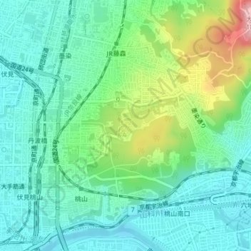
Name: 伏見桃山城 topographic map, elevation, terrain.
Location: 伏見桃山城, 墨染通り, 深草大亀谷敦賀町, 伏見区, 京都市, 京都府, 612-0868, 日本 (34.93933 135.77661 34.93967 135.77720)
Average elevation: 52 m
Minimum elevation: 6 m
Maximum elevation: 175 m
Other topographic maps
Click on a map to view its topography, its elevation and its terrain.