
中村公園 topographic map
Interactive map
Click on the map to display elevation.
About this map
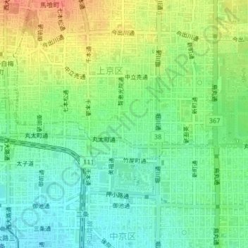
Name: 中村公園 topographic map, elevation, terrain.
Location: 中村公園, 中村町, 上京区, 京都市, 京都府, 日本 (35.01948 135.74710 35.02002 135.74739)
Average elevation: 53 m
Minimum elevation: 34 m
Maximum elevation: 81 m
Other topographic maps
Click on a map to view its topography, its elevation and its terrain.