
錦坊城児童公園 topographic map
Interactive map
Click on the map to display elevation.
About this map
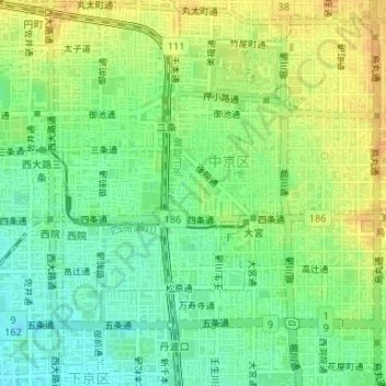
Name: 錦坊城児童公園 topographic map, elevation, terrain.
Location: 錦坊城児童公園, 壬生御所ノ内町, 中京区, 京都市, 京都府, 日本 (35.00522 135.74359 35.00549 135.74437)
Average elevation: 39 m
Minimum elevation: 24 m
Maximum elevation: 55 m
Other topographic maps
Click on a map to view its topography, its elevation and its terrain.