
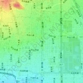
柳 topographic map
Interactive map
Click on the map to display elevation.
About this map
Name: 柳 topographic map, elevation, terrain.
Location: 柳, 一條戻橋, 徳屋町, 上京区, 京都市, 京都府, 602-0953, 日本 (35.02762 135.75153 35.02772 135.75163)
Average elevation: 62 m
Minimum elevation: 40 m
Maximum elevation: 106 m
Other topographic maps
Click on a map to view its topography, its elevation and its terrain.