
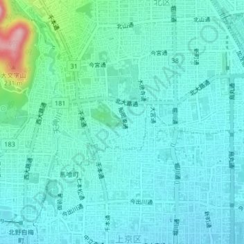
荒木大明神 topographic map
Interactive map
Click on the map to display elevation.
About this map
Name: 荒木大明神 topographic map, elevation, terrain.
Location: 荒木大明神, 船岡東通, 紫野東野町, 北区, 京都市, 京都府, 603-8225, 日本 (35.03849 135.74452 35.03859 135.74462)
Average elevation: 84 m
Minimum elevation: 54 m
Maximum elevation: 238 m
Other topographic maps
Click on a map to view its topography, its elevation and its terrain.