
华山乡 topographic map
Interactive map
Click on the map to display elevation.
About this map
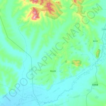
Name: 华山乡 topographic map, elevation, terrain.
Location: 华山乡, 巴彦县, 哈尔滨市, 黑龙江省, 中国 (46.17463 127.29116 46.33322 127.46454)
Average elevation: 157 m
Minimum elevation: 122 m
Maximum elevation: 316 m
Other topographic maps
Click on a map to view its topography, its elevation and its terrain.