
老山头 topographic map
Interactive map
Click on the map to display elevation.
About this map
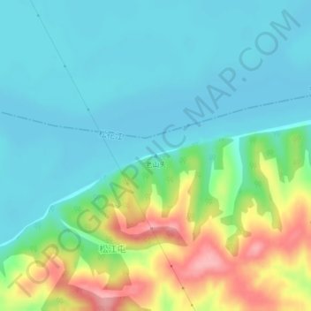
Name: 老山头 topographic map, elevation, terrain.
Location: 老山头, 哈尔滨市, 黑龙江省, 中国 (46.02287 126.96892 46.02297 126.96902)
Average elevation: 144 m
Minimum elevation: 111 m
Maximum elevation: 230 m
Other topographic maps
Click on a map to view its topography, its elevation and its terrain.