
安埠街道 topographic map
Interactive map
Click on the map to display elevation.
About this map
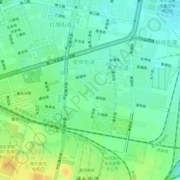
Name: 安埠街道 topographic map, elevation, terrain.
Location: 安埠街道, 香坊区, 哈尔滨市, 黑龙江省, 150000, 中国 (45.71553 126.68414 45.72934 126.69545)
Average elevation: 152 m
Minimum elevation: 141 m
Maximum elevation: 169 m
Other topographic maps
Click on a map to view its topography, its elevation and its terrain.