
长兴 topographic map
Interactive map
Click on the map to display elevation.
About this map
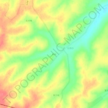
Name: 长兴 topographic map, elevation, terrain.
Location: 长兴, 哈尔滨市, 黑龙江省, 中国 (45.80637 126.99577 45.84637 127.03577)
Average elevation: 173 m
Minimum elevation: 138 m
Maximum elevation: 202 m
Other topographic maps
Click on a map to view its topography, its elevation and its terrain.