
荣市街道 topographic map
Interactive map
Click on the map to display elevation.
About this map
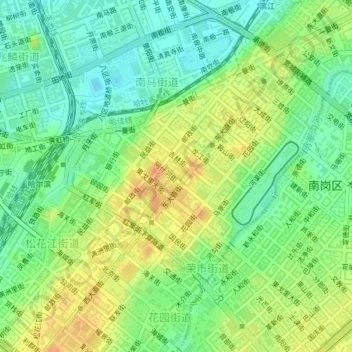
Name: 荣市街道 topographic map, elevation, terrain.
Location: 荣市街道, 南岗区, 哈尔滨市, 黑龙江省, 150000, 中国 (45.75156 126.62897 45.76792 126.65543)
Average elevation: 138 m
Minimum elevation: 120 m
Maximum elevation: 159 m
Other topographic maps
Click on a map to view its topography, its elevation and its terrain.