
群力街道 topographic map
Interactive map
Click on the map to display elevation.
About this map
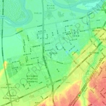
Name: 群力街道 topographic map, elevation, terrain.
Location: 群力街道, 哈尔滨市, 黑龙江省, 中国 (45.68236 126.49030 45.76236 126.57030)
Average elevation: 129 m
Minimum elevation: 105 m
Maximum elevation: 173 m
Other topographic maps
Click on a map to view its topography, its elevation and its terrain.