
香坊区 topographic map
Interactive map
Click on the map to display elevation.
About this map
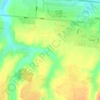
Name: 香坊区 topographic map, elevation, terrain.
Location: 香坊区, 黑龙江省, 中国 (45.66864 126.73826 45.70864 126.77826)
Average elevation: 163 m
Minimum elevation: 139 m
Maximum elevation: 184 m
Other topographic maps
Click on a map to view its topography, its elevation and its terrain.