
北林区 topographic map
Interactive map
Click on the map to display elevation.
About this map
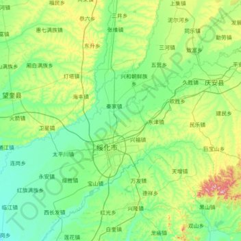
Name: 北林区 topographic map, elevation, terrain.
Location: 北林区, 绥化市, 黑龙江省, 152000, 中国 (46.32149 126.42003 47.16071 127.36703)
Average elevation: 181 m
Minimum elevation: 128 m
Maximum elevation: 443 m
Other topographic maps
Click on a map to view its topography, its elevation and its terrain.