
嘉荫县 topographic map
Interactive map
Click on the map to display elevation.
About this map
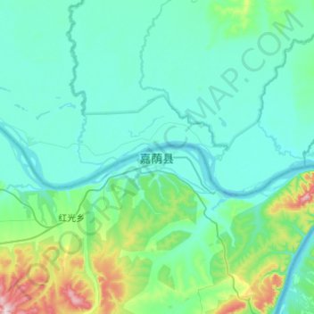
Name: 嘉荫县 topographic map, elevation, terrain.
Location: 嘉荫县, 朝阳镇, 嘉荫县, 伊春市, 黑龙江省, 153000, 中国 (48.73187 130.23986 49.05187 130.55986)
Average elevation: 136 m
Minimum elevation: 76 m
Maximum elevation: 546 m