
呼玛县 topographic map
Interactive map
Click on the map to display elevation.
About this map
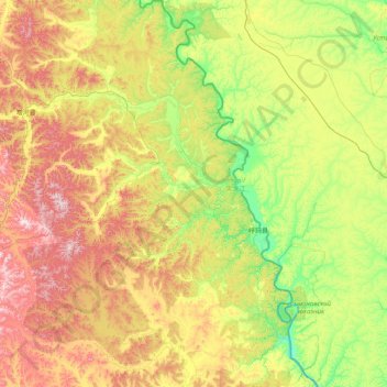
Name: 呼玛县 topographic map, elevation, terrain.
Location: 呼玛县, 大兴安岭地区, 黑龙江省, 中国 (50.90237 125.06545 52.89670 127.02433)
Average elevation: 378 m
Minimum elevation: 138 m
Maximum elevation: 1,021 m
Other topographic maps
Click on a map to view its topography, its elevation and its terrain.