
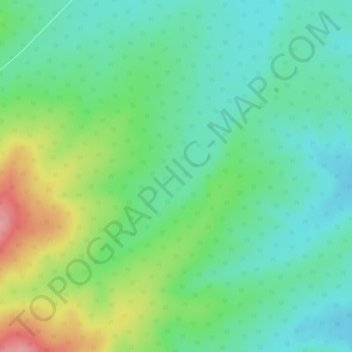
友好区 topographic map
Interactive map
Click on the map to display elevation.
About this map
Name: 友好区 topographic map, elevation, terrain.
Location: 友好区, 伊春市, 黑龙江省, 153000, 中国 (48.06971 128.60370 48.10971 128.64370)
Average elevation: 332 m
Minimum elevation: 297 m
Maximum elevation: 409 m
Other topographic maps
Click on a map to view its topography, its elevation and its terrain.