
道外区 topographic map
Interactive map
Click on the map to display elevation.
About this map
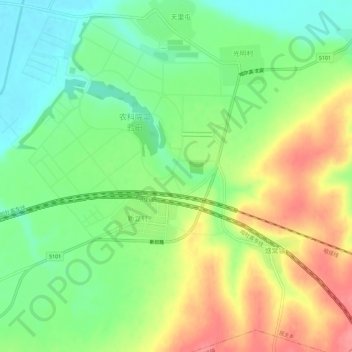
Name: 道外区 topographic map, elevation, terrain.
Location: 道外区, 黑龙江省, 中国 (45.81242 126.82886 45.85242 126.86886)
Average elevation: 152 m
Minimum elevation: 117 m
Maximum elevation: 197 m
Other topographic maps
Click on a map to view its topography, its elevation and its terrain.