
大榆树镇 topographic map
Interactive map
Click on the map to display elevation.
About this map
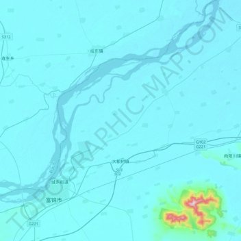
Name: 大榆树镇 topographic map, elevation, terrain.
Location: 大榆树镇, 富锦市, 佳木斯市, 黑龙江省, 154000, 中国 (47.19028 132.03129 47.47654 132.36154)
Average elevation: 67 m
Minimum elevation: 52 m
Maximum elevation: 531 m
Other topographic maps
Click on a map to view its topography, its elevation and its terrain.