
绥滨县 topographic map
Interactive map
Click on the map to display elevation.
About this map
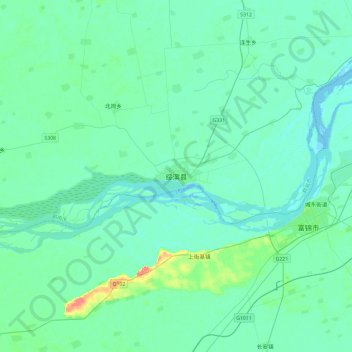
Name: 绥滨县 topographic map, elevation, terrain.
Location: 绥滨县, 鹤岗市, 黑龙江省, 中国 (47.12609 131.68785 47.44609 132.00785)
Average elevation: 62 m
Minimum elevation: 55 m
Maximum elevation: 106 m
Other topographic maps
Click on a map to view its topography, its elevation and its terrain.