
川尻町字中島 topographic map
Interactive map
Click on the map to display elevation.
About this map
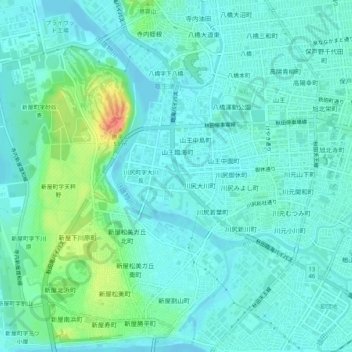
Name: 川尻町字中島 topographic map, elevation, terrain.
Location: 川尻町字中島, 秋田市, 秋田县, 010-1614, 日本 (39.69298 140.06781 39.73298 140.10781)
Average elevation: 11 m
Minimum elevation: -3 m
Maximum elevation: 52 m
Other topographic maps
Click on a map to view its topography, its elevation and its terrain.