
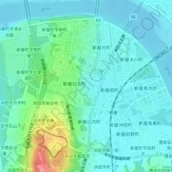
愛宕下地蔵清水 topographic map
Interactive map
Click on the map to display elevation.
About this map
Name: 愛宕下地蔵清水 topographic map, elevation, terrain.
Location: 愛宕下地蔵清水, 秋田天王線, 浜田, 浜田字神坂, 秋田市, 秋田县, 010-1638, 日本 (39.68013 140.08198 39.68023 140.08208)
Average elevation: 19 m
Minimum elevation: -2 m
Maximum elevation: 95 m