
泉字五庵山 topographic map
Interactive map
Click on the map to display elevation.
About this map
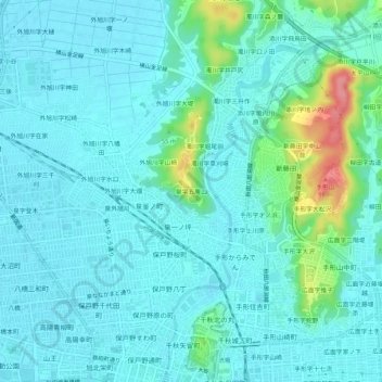
Name: 泉字五庵山 topographic map, elevation, terrain.
Location: 泉字五庵山, 秋田市, 秋田县, 010-0815, 日本 (39.71919 140.10228 39.75919 140.14228)
Average elevation: 20 m
Minimum elevation: 4 m
Maximum elevation: 96 m
Other topographic maps
Click on a map to view its topography, its elevation and its terrain.