
八橋本町 topographic map
Interactive map
Click on the map to display elevation.
About this map
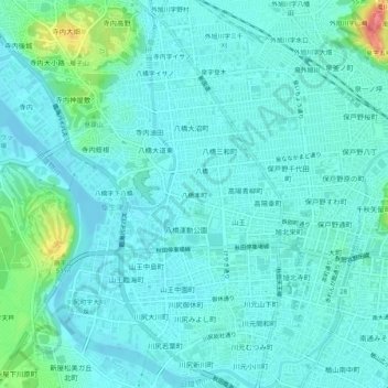
Name: 八橋本町 topographic map, elevation, terrain.
Location: 八橋本町, 秋田市, 秋田县, 010-0964, 日本 (39.70450 140.07707 39.74450 140.11707)
Average elevation: 12 m
Minimum elevation: -3 m
Maximum elevation: 71 m
Other topographic maps
Click on a map to view its topography, its elevation and its terrain.