
広面字鬼頭 topographic map
Interactive map
Click on the map to display elevation.
About this map
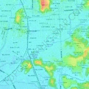
Name: 広面字鬼頭 topographic map, elevation, terrain.
Location: 広面字鬼頭, 秋田市, 秋田县, 010-0003, 日本 (39.69099 140.11947 39.73099 140.15947)
Average elevation: 14 m
Minimum elevation: 4 m
Maximum elevation: 58 m
Other topographic maps
Click on a map to view its topography, its elevation and its terrain.