
河辺戸島字井戸尻下 topographic map
Interactive map
Click on the map to display elevation.
About this map
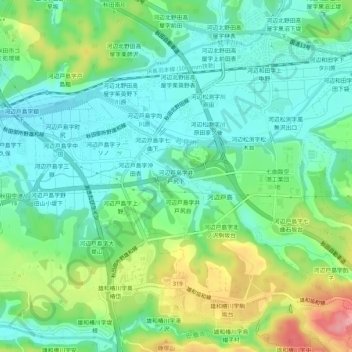
Name: 河辺戸島字井戸尻下 topographic map, elevation, terrain.
Location: 河辺戸島字井戸尻下, 秋田市, 秋田县, 019-2611, 日本 (39.61820 140.18415 39.65820 140.22415)
Average elevation: 41 m
Minimum elevation: 6 m
Maximum elevation: 117 m
Other topographic maps
Click on a map to view its topography, its elevation and its terrain.