
太平山 topographic map
Interactive map
Click on the map to display elevation.
About this map
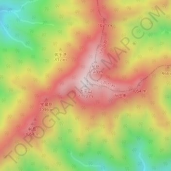
Name: 太平山 topographic map, elevation, terrain.
Location: 太平山, 秋田市, 秋田县, 日本 (39.79698 140.31059 39.79708 140.31069)
Average elevation: 812 m
Minimum elevation: 412 m
Maximum elevation: 1,141 m
Other topographic maps
Click on a map to view its topography, its elevation and its terrain.