
南丹市 topographic map
Interactive map
Click on the map to display elevation.
About this map
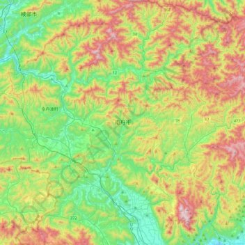
Name: 南丹市 topographic map, elevation, terrain.
Location: 南丹市, 京都府, 日本 (35.02455 135.36873 35.37787 135.79516)
Average elevation: 368 m
Minimum elevation: 44 m
Maximum elevation: 925 m
Other topographic maps
Click on a map to view its topography, its elevation and its terrain.