
三澤市 topographic map
Interactive map
Click on the map to display elevation.
About this map
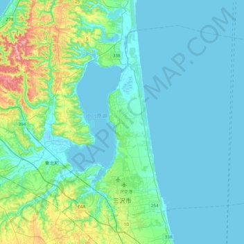
Name: 三澤市 topographic map, elevation, terrain.
Location: 三澤市, 青森县, 033-0001, 日本 (40.66099 141.31009 40.89243 141.69609)
Average elevation: 22 m
Minimum elevation: -3 m
Maximum elevation: 137 m
Other topographic maps
Click on a map to view its topography, its elevation and its terrain.