
坂 topographic map
Interactive map
Click on the map to display elevation.
About this map
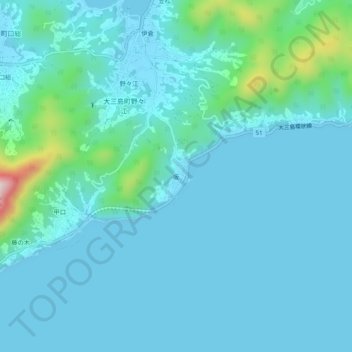
Name: 坂 topographic map, elevation, terrain.
Location: 坂, 今治市, 爱媛县, 日本 (34.18503 132.97395 34.22503 133.01395)
Average elevation: 46 m
Minimum elevation: -2 m
Maximum elevation: 381 m
Other topographic maps
Click on a map to view its topography, its elevation and its terrain.