
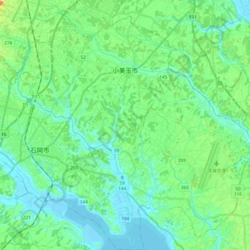
小美玉市 topographic map
Interactive map
Click on the map to display elevation.
About this map
Name: 小美玉市 topographic map, elevation, terrain.
Location: 小美玉市, 茨城县, 日本 (36.13013 140.27192 36.28085 140.44983)
Average elevation: 24 m
Minimum elevation: -3 m
Maximum elevation: 106 m
Other topographic maps
Click on a map to view its topography, its elevation and its terrain.