Hainaut topographic maps
Click on a map to view its topography, its elevation and its terrain.

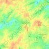
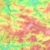
Casteau
Belgium > Hainaut > Soignies > Soignies
The valley of the Obrecheuil is in the east of the village. This part of the valley is part of Natura 2000 protected areas. The heart of the village is in the northwest higher part of the valley. The northwestern part of the village is a plain with dispersed houses and farms with typical hedges. The village is…
Average elevation: 98 m



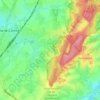
























Houdeng-Gœgnies
Belgium > Hainaut > La Louvière > La Louvière > Houdeng-Gœgnies
Average elevation: 115 m
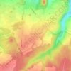
Cité du Champ de l'Ange
Belgium > Hainaut > Soignies > Braine-le-Comte > Petit-Roeulx-Lez-Braine
Average elevation: 81 m




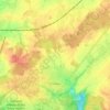
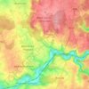
Charleroi
The topography of Charleroi is influenced by the valley of the river Sambre, which flows from west to east before joining the Meuse at Namur. The Piéton river flows from north to south to join the Sambre at Dampremy. The Charleroi-Brussels canal is dug in the valley of this stream. The Eau d'Heure river comes…
Average elevation: 152 m