
楊貴妃桜 topographic map
Interactive map
Click on the map to display elevation.
About this map
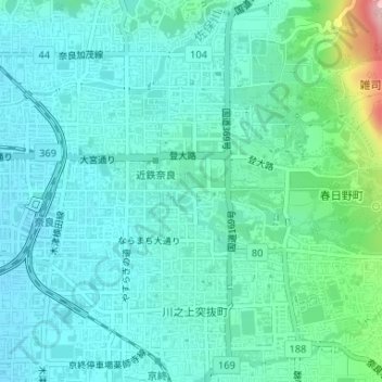
Name: 楊貴妃桜 topographic map, elevation, terrain.
Location: 楊貴妃桜, 三条通り, 樽井町, 奈良市, 奈良縣, 630-8217, 日本 (34.68189 135.83157 34.68199 135.83167)
Average elevation: 97 m
Minimum elevation: 61 m
Maximum elevation: 251 m
Other topographic maps
Click on a map to view its topography, its elevation and its terrain.