
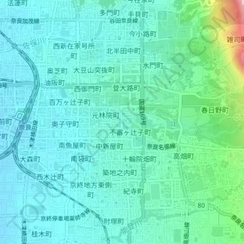
菩提川(率川) topographic map
Interactive map
Click on the map to display elevation.
About this map
Name: 菩提川(率川) topographic map, elevation, terrain.
Location: 菩提川(率川), 池之町, 奈良市, 奈良縣, 630-8363, 日本 (34.67975 135.83177 34.68088 135.83205)
Average elevation: 97 m
Minimum elevation: 62 m
Maximum elevation: 250 m
Other topographic maps
Click on a map to view its topography, its elevation and its terrain.